
WHAT WE DO
OUR SERVICES
From aerial survey to 3D digitisation, inspection and virtual reality — DSi delivers the full spectrum of geospatial and reality-capture services.
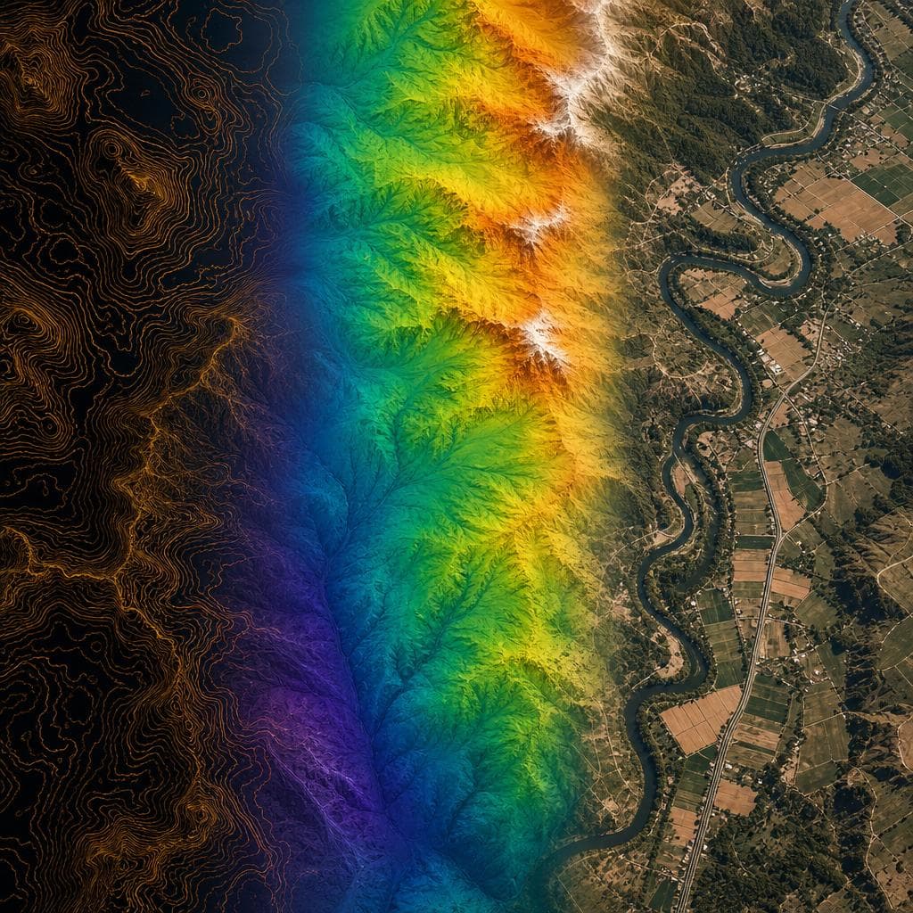
Survey and Mapping
DSi utilises the latest LiDAR, photogrammetric, multispectral, radar and thermal technologies to provide accurate, usable data. Drone surveys offer high-resolution coverage, vegetation penetration, cost savings and the ability to cover large areas quickly — eliminating the need for people to work in dangerous environments.
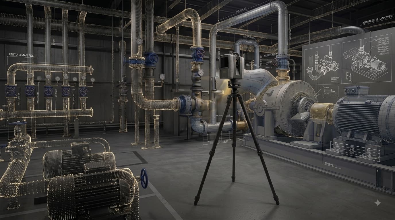
Scanning and 3D Digitisation
New sensors, software and techniques provide us with the ability to capture assets and environments with unprecedented accuracy and efficiency. From industrial plants to heritage sites, we deliver millimetre-accurate digital twins and as-built documentation — from detailed point clouds to fully developed 3D Revit models.
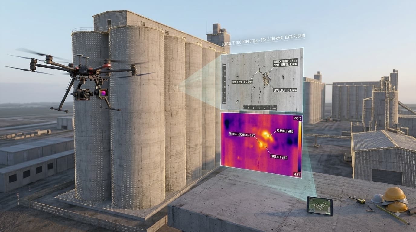
Inspections
Drone inspections provide a safe and efficient method of conducting visual and non-visual (e.g. thermal) inspections of structures and assets. Applications include towers, tanks, bridges, pylons, chimneys, dams and roofs — removing the need for scaffolding, rope access or personnel working at height.
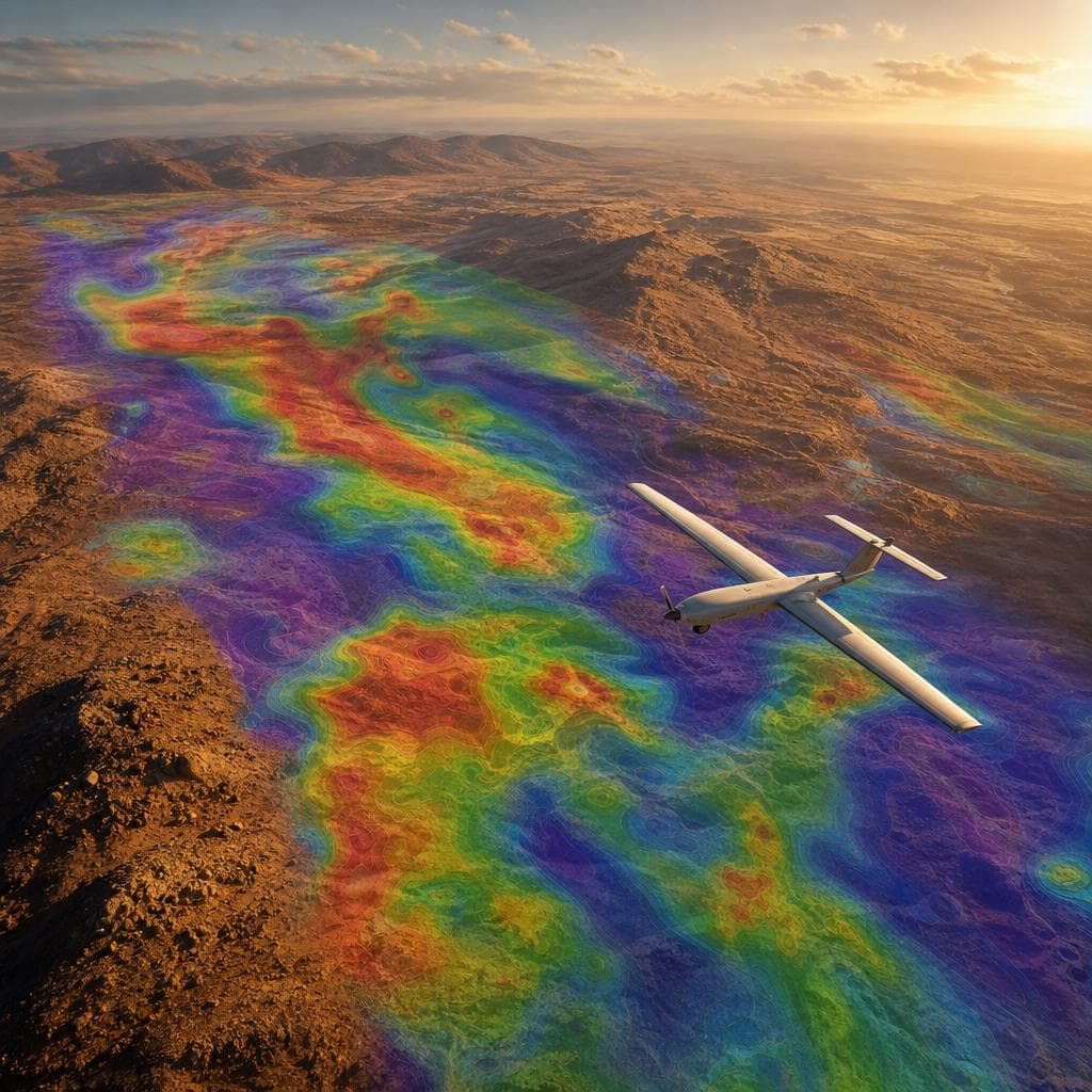
Exploration Surveys
Comprehensive aerial survey solutions for geological prospecting, mineral exploration and resource mapping. We deliver precise spatial intelligence across remote and inaccessible terrain — providing the foundational data that drives informed exploration decisions.
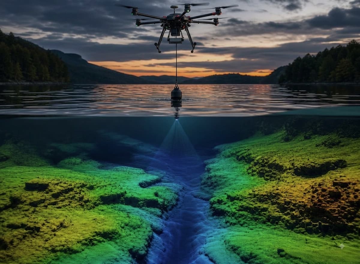
Bathymetric Surveys
Drone-deployed echosounder surveys for accurate underwater terrain mapping of rivers, dams, reservoirs and coastal areas. We deliver high-resolution bathymetric data safely and efficiently — without the need for manned vessels or personnel entering the water.

Virtual Reality
DSi delivers immersive virtual reality experiences and interactive 3D digital twins — enabling clients to explore, analyse and communicate spatial data like never before. Ideal for progress monitoring, marketing, stakeholder engagement and remote site walkthroughs.
READY TO ELEVATE YOUR PROJECT?
Contact our team for a specialised consultation.