
BACK TO SERVICES
Exploration Surveys
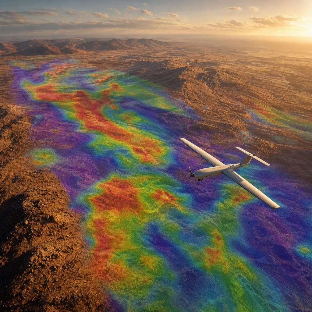
Comprehensive aerial survey solutions for geological prospecting, mineral exploration and resource mapping. We deliver precise spatial intelligence across remote and inaccessible terrain — providing the foundational data that drives informed exploration decisions.
Key Advantages
Sub-Surface Insight
Airborne magnetometers map geological structures and magnetic anomalies.
Remote Access
Survey inaccessible and hazardous terrain without ground crews.
Rapid Coverage
Low-altitude drone geophysics covers large exploration blocks quickly.
Integrated Deliverables
Combine geophysics with terrain models and orthorectified imagery.
Exploration Services Include:
- UAV magnetometer surveys
- Drone geophysics
- Magnetic anomaly mapping
- High-resolution digital terrain models
- Orthorectified imagery
- Geological structure mapping
Industries Served
MiningMineral ExplorationGeologyEnergy