
BACK TO SERVICES
Survey and Mapping
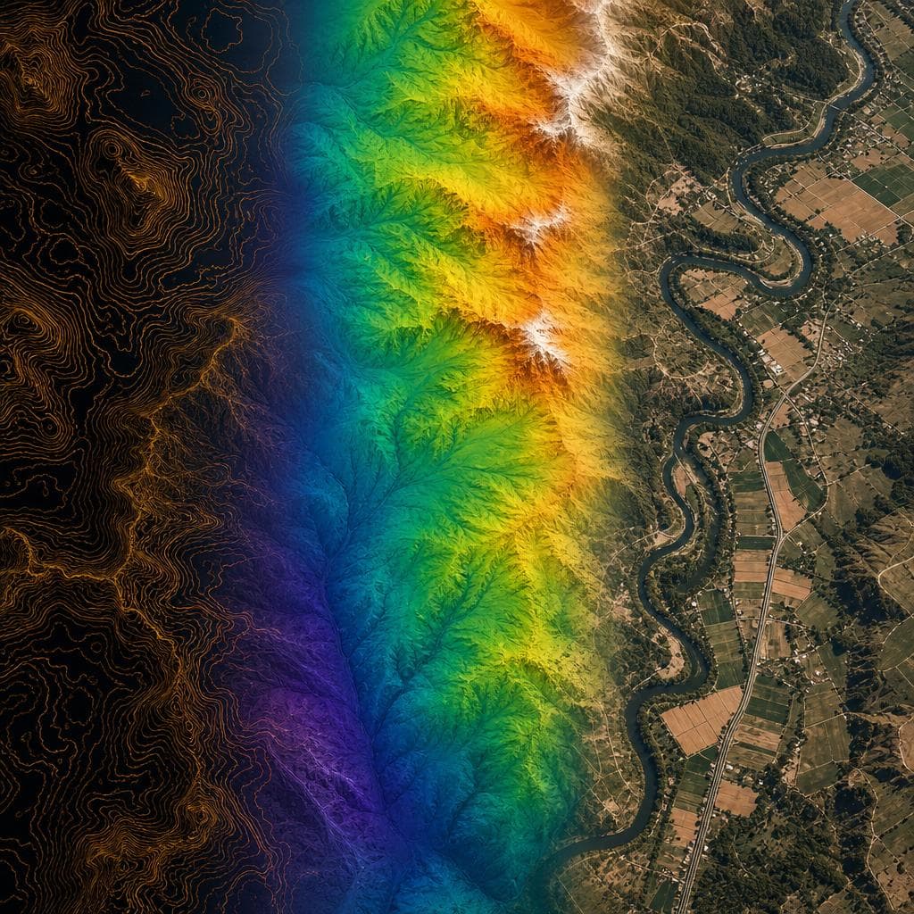
Drone surveys can offer the advantages of high-resolution data, vegetation penetration, cost savings, and the ability to cover large areas quickly with a high level of accuracy. Drones help to eliminate high-risk work being done by humans in dangerous environments e.g. on and around stockpiles, machinery, plant, and working at heights.
Key Advantages
Confidence
LiDAR penetrates vegetation to capture true bare-earth models.
Safety & Accessibility
Survey hazardous terrain without putting personnel at risk.
Efficiency & Speed
Cover large areas in a fraction of the time of traditional methods.
Accuracy & Resolution
High-density point clouds with RTK/PPK precision.
Survey Services Include:
- Topographical (LiDAR and Photogrammetry)
- Volumetric/Stockpile
- Terrestrial / Indoor 3D Laser Scanning
- As-Built Models and Drawings
- Bathymetric (Underwater)
- Magnetic
- Ground Penetrating Radar
- Agricultural Multispectral Index Maps
Industries Served
AgricultureMiningConstructionCivil EngineeringEnvironmentalUtilities