
CAPTURE REALITYDELIVER INSIGHT
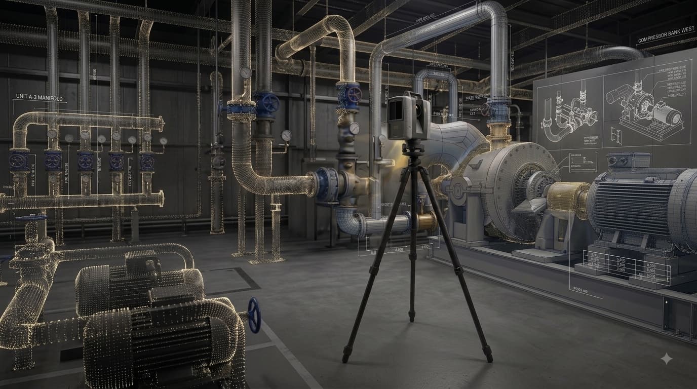
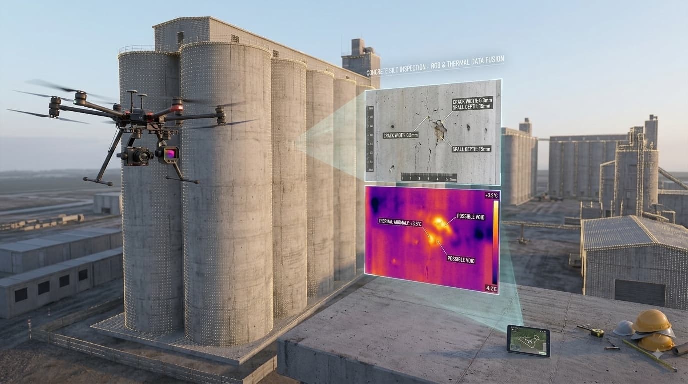
DSi is a leading geospatial and reality capture company, built on years of experience delivering precise spatial data and digital insights through surveying, mapping, infrastructure inspection, and advanced reality capture technologies from the air, ground and water.
TRUSTED BY INDUSTRY LEADERS
Delivering high-precision spatial data for major players in mining, energy, infrastructure, and engineering.



















SECTORS WE SERVE
Engineering
Precise data for civil and structural engineering projects
Architecture
3D scanning and reality capture for design and documentation
Mining
Volumetric surveys, stockpile measurement, and hazard inspection
Construction
Progress monitoring, as-built surveys, and site mapping
Agriculture
Multispectral crop health analysis and precision field mapping
Exploration
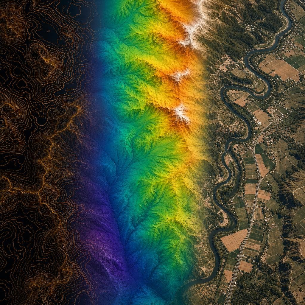
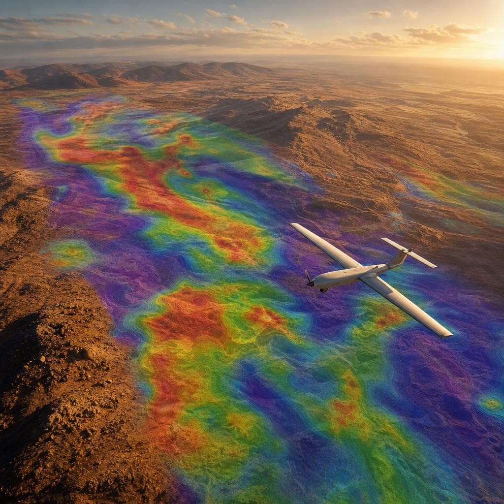
Drone geophysics and magnetometer surveys for sub-surface geological mapping.
OUR SERVICES
WHO WE ARE
ABOUT DSi
DSi was established to change how physical assets are measured, monitored, and digitized. By replacing manual site measurements and speculative data with high-definition spatial capture, we give project managers, engineers, and developers complete site visibility before ground is broken or work begins.
OUR TEAM
Gareth O'Reilly
Founder & CTO
Engineering Survey Technologist
Justin Hawley
Founder & COO
BCom (Business Management)
Mpho Motloung
Ops Manager & Reality Capture Specialist
Brendan Benade
Data Capture Specialist
Ben Goodwin
Data Processing Manager & Professional Land Surveyor
Jason Wyatt
Data Processing & GIS Technician
Nhlonipho Sithole
Data Processing & Professional Land Surveyor
Monique Heydenrych
Sales & Data Capture Specialist
Sihle Xaba
Data Capture Specialist
Beverley Hawley
Admin and HR Manager
Eddie Mazibuko
Data Capture Specialist Assistant