
BACK TO SERVICES
Bathymetric Surveys
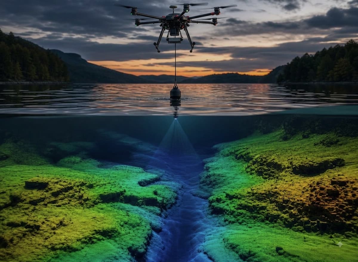
Drone-deployed echosounder surveys for accurate underwater terrain mapping of rivers, dams, reservoirs and coastal areas. We deliver high-resolution bathymetric data safely and efficiently — without the need for manned vessels or personnel entering the water.
Key Advantages
No Manned Vessels
Capture underwater terrain without boats or personnel in the water.
Hard-to-Reach Water
Access tailings dams, reservoirs and hazardous water bodies safely.
High Resolution
Dense sounding data produces detailed underwater surfaces.
Integrated Datasets
Merge bathymetry with LiDAR topography for complete terrain models.
Bathymetric Services Include:
- Dam and reservoir surveys
- River cross-sections and profiles
- Tailings and return-water dam surveys
- Coastal and estuary mapping
- Sediment and capacity analysis
- Combined topo-bathymetric models
Industries Served
Water UtilitiesMiningCivil EngineeringEnvironmental